HawkWorks
Autonomy + perception
Autonomy.
With awareness.
HawkWorks is an AI platform for drones, robots, vehicles, and industrial systems. It connects mission planning, onboard perception, and autonomous decisions so systems can perceive, decide, and act together.
Discover the capabilities01 / Mission planning
Start with
the mission.
Turn an instruction or alert into a sequenced mission. Specialized agents interpret intent, select tools, resolve dependencies, and check constraints before issuing commands, with tiered confirmation for safety-critical actions and handoff when needed.
02 / Onboard perception
See the scene.
Understand it.
Process camera input onboard to detect and track objects, map their locations, and interpret the scene. Vision-language models add descriptions, activity recognition, anomaly explanations, and change detection that connect visual observations to decisions.
04 / Model deployment
Intelligence,
at the edge.
Carry fleet data through quality checks, model training, evaluation, and optimization for target edge hardware. Introduce updates through a progressive canary rollout, monitor system health, and roll back when deployment failures are detected.
05 / Fleet coordination
Many systems.
One objective.
Coordinate drones, robots, and vehicles through shared state and observations. Break objectives into dependent tasks, allocate roles using battery, position, and capability, and combine local formation rules with distributed voting for mission decisions.
06 / Operational insight
Every mission
has a story.
Ask questions across telemetry, events, sensor records, and mission reports. Agents formulate queries, correlate sources, and assemble evidence for investigations, while anomaly detection and fleet trends inform maintenance advisories and operational no-go alerts.
07 / Compactness
Compact.
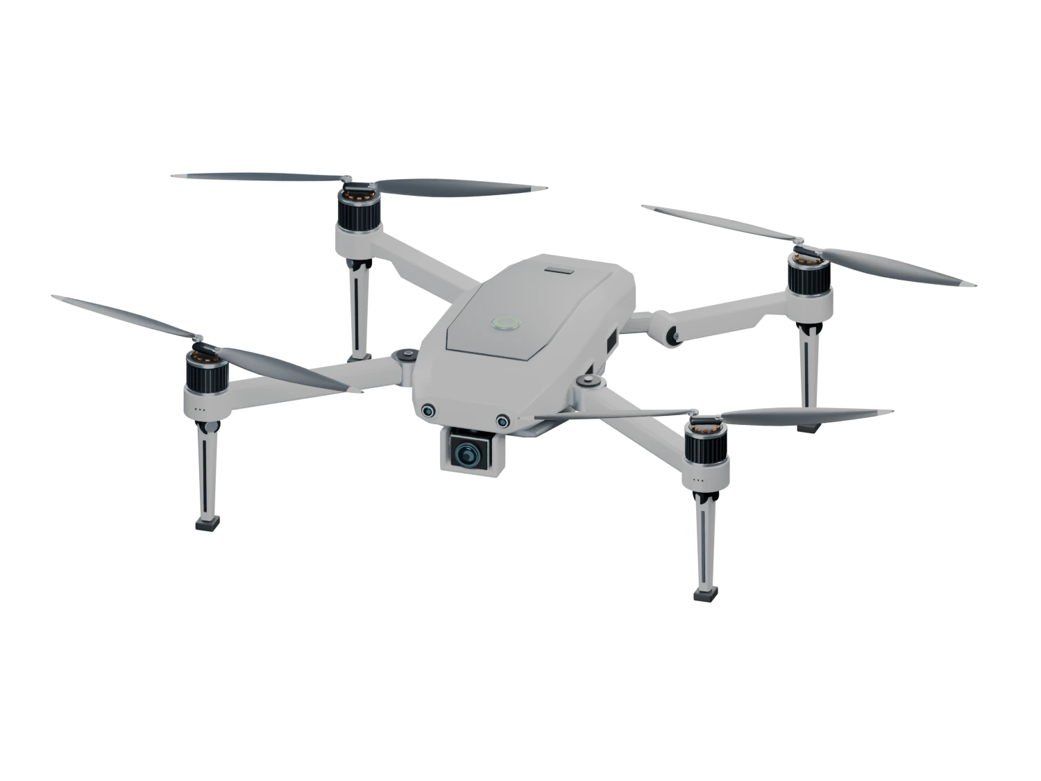
Blades, arms and landing gear tuck around the body. Scroll to fold, then reverse to unfold this illustrative airframe.
One platform.
Four connected layers.
Connect the hardware collecting observations to the intelligence deciding what happens next. HawkWorks brings perception, planning, and fleet operations into a shared software architecture.
Safety throughout the mission.
Assess visibility, wind, precipitation, temperature, and battery endurance together. Track telemetry for unusual behavior, classify incidents, and use trends across operations to inform maintenance and mission decisions.
- Hardware
- Controllers, companion computers, sensors, and communications.
- Perception
- Object detection, tracking, and scene understanding from vision-language models.
- Intelligence
- Specialized agents, mission planning, and dynamic routing connect observations to actions.
- Fleet & mission
- Coordination, shared decisions, telemetry, and analytics connect the wider operation.
Solutions
Autonomy in the field.
Energy & infrastructure
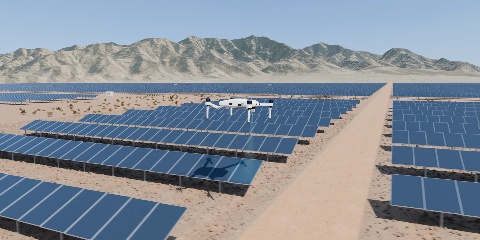
Solar arrays, wind farms, and power networks stretch across terrain that can be difficult to inspect from the ground.
Connect power-line inspection, solar and wind monitoring, and visual defect detection with mission planning and shared observations from the field.
- Mission planning
- Operator intent
- Perception
- Detection & tracking
- Navigation
- Obstacle avoidance
- Coordination
- Shared observations
- Deployment
- Fleet updates
- Insight
- Mission investigation
Scene credits
Illustrative solar installation on modeled California terrain. Elevation from Mapzen Terrain Tiles, including USGS elevation sources, with registered USGS/USDA NAIP imagery for distant surface color. Scanned ground, vegetation, and daylight from Poly Haven (CC0). The farm layout, grading, and flight route are authored for this demonstration.
Across industries
Awareness across
the terrain.
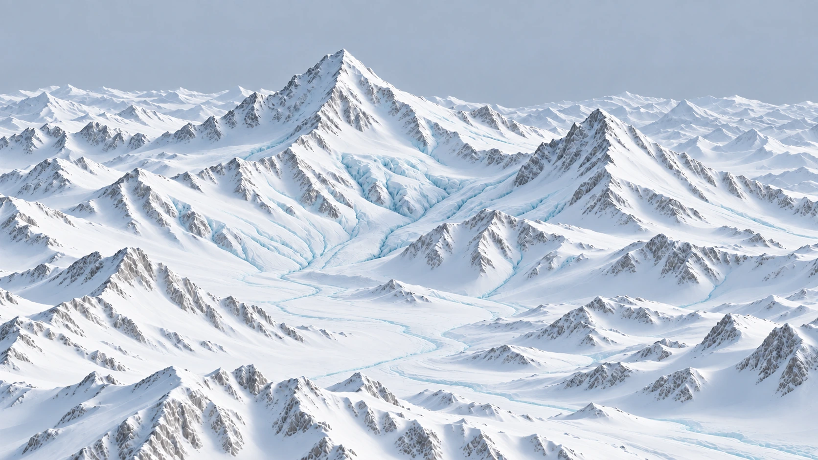
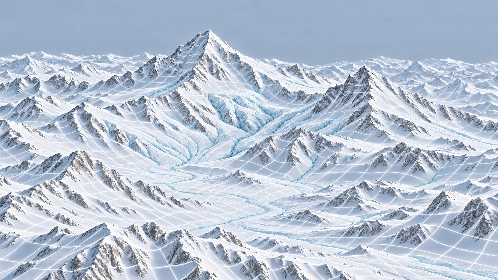
Perception, navigation, and shared observations — from the valley to the ridgeline.
The mountain illustration could not load. Refresh to try again.
Illustrative terrain scan.
Loading the drone illustration. All capabilities are available as you scroll.